PhilSA releases post-Habagat flood maps
The Manila Times
7 h
 Philippines
Philippines
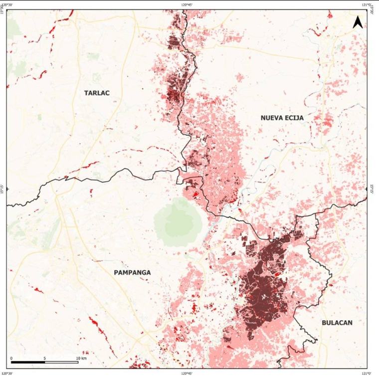
The Philippine Space Agency (PhilSA) produced flood extent maps showing inundated areas in parts of the Ilocos region, Cagayan Valley) the whole of Central Luzon and Calabarzon, Mimaropa, Cordillera Administrative Region (CAR) and the National Capital Region (NCR) on Aug. 31 at 5:45 a.m. PhST following heavy rains brought by the enhanced Southwest Monsoon (Habagat). The maps show flood extents on
See all — The Manila Times →Aggregated from the leading newsrooms of the country. Every story links to its original source.